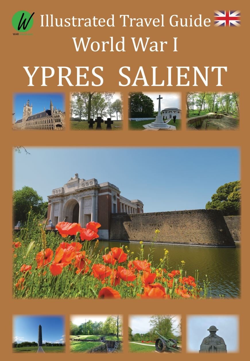
Ypres Salient
World War I, also known as The Great War or ‘The War to End All Wars’, lasted from July 28, 1914, to November 11, 1918. The world was caught up in a global conflict, and Europe endured four years of horrific fighting. The landscape is still marked with mine and artillery craters, trenches, cemeteries and forts. Numerous memorials honour the dead, and museums exhibit vestiges of a time that should never be forgotten.
This Illustrated Travel Guide describes these sites, which are located in and around Ypres,
Belgium, which is known as the Ypres Salient. Many battles were fought in this region during the four years of the First World War. The most famous and infamous is the Third Battle of Ypres, also known as the Battle of Passchendaele.
With detailed maps, GPS coordinates and addresses, this guide shows you exactly where to find these remarkable places. Each subject comes with a brief historical description and
photos, providing you with important insights on what to expect when you plan your visit.
Additionally, each subject comes with its own web page, which provides the sites’ actual
opening times, a zoomable Google Maps map that can be used to navigate, and links to the sites’ official web page for additional information.
Included with this travel guide:
Historical information, location and GPS coordinates of 60 World War I sites, including;
Memorials
Museums
Military cemeteries (Commonwealth, French, Belgian and German)
Trenches
Mine craters
Details maps of Ypres and surrounding area
More than 100 photos
Messines mines locations
A map with all military cemeteries
List with Aces who fought in the skies above the Ypres Salient
GPS coordinates
Google Maps navigation
Websites navigatable by QR code using your mobile phone
Description of the main offensives in the Ypres Salient and how Belgium became involved in the First World War.